Negative
25Serious
Neutral
Optimistic
Positive
- Total News Sources
- 2
- Left
- 1
- Center
- 0
- Right
- 0
- Unrated
- 1
- Last Updated
- 19 hours ago
- Bias Distribution
- 100% Left
Hurricane Erin Produces Dangerous Coastal Flooding, 12-15-Foot Waves Across Mid-Atlantic Shorelines
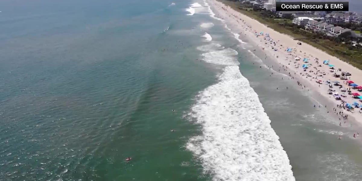
Hurricane Erin, a Category 2 storm with sustained winds of 105 mph, is expected to pass offshore along the U.S. East Coast, bringing significant coastal hazards from North Carolina to New Jersey. Coastal areas including Monmouth and Cape May counties in New Jersey, as well as the Outer Banks in North Carolina, are under flood and storm surge warnings, with waves reaching 7 to 17 feet and life-threatening rip currents forecast through Friday. Authorities have issued swimming bans, evacuation orders in some areas, and warnings about beach erosion, dangerous surf, and hazardous travel conditions due to tropical storm force winds up to 50 mph. Despite not making landfall, the storm's expanding size is causing increased coastal flooding and rough seas, prompting local officials to advise residents to prepare for rising water levels and secure their property. Mariners are urged to stay in port as seas build, and emergency management offices stress the risk of flash flooding inland as a separate system interacts with moisture from Erin. The storm's peak impact is expected on Thursday, with conditions gradually improving by Friday.

- Total News Sources
- 2
- Left
- 1
- Center
- 0
- Right
- 0
- Unrated
- 1
- Last Updated
- 19 hours ago
- Bias Distribution
- 100% Left
Negative
25Serious
Neutral
Optimistic
Positive
Stay in the know
Get the latest news, exclusive insights, and curated content delivered straight to your inbox.

Gift Subscriptions
The perfect gift for understanding
news from all angles.