Negative
27Serious
Neutral
Optimistic
Positive
- Total News Sources
- 2
- Left
- 1
- Center
- 0
- Right
- 0
- Unrated
- 1
- Last Updated
- 37 min ago
- Bias Distribution
- 100% Left


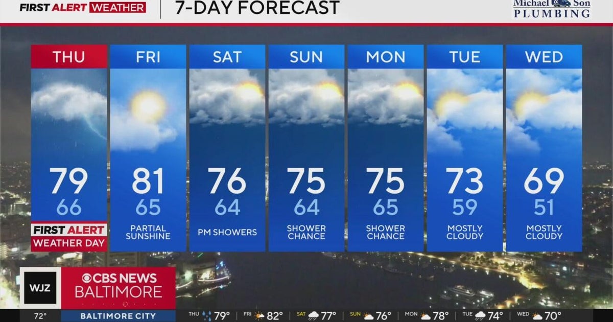
Broad Storm Brings Rain, Marginal Severe Risk
A broad storm system is producing scattered to widespread showers and thunderstorms today into Thursday across the Southeast, Mississippi, Central and South Georgia, the Northeast and interior regions, with damaging wind gusts the primary severe threat and localized flash flooding possible in heavier downpours. Meteorologists expect the heaviest rain late tonight into Thursday morning and afternoon, with many areas receiving roughly 0.75–2+ inches and localized higher amounts that could slow morning commutes and cause brief flooding in low-lying areas. South Georgia and parts of the mid-Atlantic and Pennsylvania are under a marginal risk for isolated damaging winds, frequent lightning and hail, though widespread significant tornado activity is not expected; conditions should generally ease by Friday morning. High pressure will build behind the front, bringing drier, slightly cooler weather and lower humidity for the weekend. In the Atlantic, Hurricane Gabrielle is weakening as it moves toward the Azores and Iberia and remains no threat to the U.S., while two central-Atlantic disturbances (Invest 93L — high chance, Invest 94L — medium chance) are being monitored for possible development and potential East Coast impacts next week. Residents should follow local forecasts and radar for timing and localized changes.

- Total News Sources
- 2
- Left
- 1
- Center
- 0
- Right
- 0
- Unrated
- 1
- Last Updated
- 37 min ago
- Bias Distribution
- 100% Left
Negative
27Serious
Neutral
Optimistic
Positive
Stay in the know
Get the latest news, exclusive insights, and curated content delivered straight to your inbox.

Gift Subscriptions
The perfect gift for understanding
news from all angles.
