- Total News Sources
- 11
- Left
- 2
- Center
- 0
- Right
- 0
- Unrated
- 9
- Last Updated
- 12 days ago
- Bias Distribution
- 100% Left
Weekend Cold Front Amid Warm, Dry Pattern
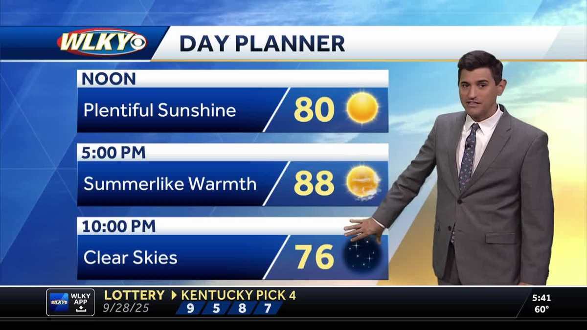
A persistent upper‑level ridge and surface high will keep much of the U.S. warm and dry into early October, with the Gulf South and parts of Texas and Louisiana seeing near‑record warmth while many other areas stay in the 60s–70s. The Pacific Northwest remains an exception with repeated showers, gusty winds and localized 1–2 inches of rain possible, and tropical systems Humberto and Imelda have moved offshore though Imelda’s cloud bands will still influence coastal and marine conditions. The timing of the cool front has shifted later in the week — a cold front is now forecast to bring cooler air and rain Saturday–Sunday for parts of the Plains and Midwest, producing cooler daytime highs and nighttime lows that could fall into the 30s–40s with patchy frost before a warming trend returns. Dry conditions are elevating fire‑weather risk as fall burn seasons begin, and a Gulf low could still increase coastal rain chances if it shifts east; breezy winds and elevated weed pollen are also expected across parts of the Midwest. Internationally, Sydney faces a scorching start to October with weekend highs near 30°C after its second‑warmest September on record, a pattern linked to broader climate trends and a recent sudden stratospheric warming event, and local communities are seeing grassroots relief efforts such as free yard‑cutting for veterans and residents facing financial or medical hardship.


- Total News Sources
- 11
- Left
- 2
- Center
- 0
- Right
- 0
- Unrated
- 9
- Last Updated
- 12 days ago
- Bias Distribution
- 100% Left
Stay in the know
Get the latest news, exclusive insights, and curated content delivered straight to your inbox.

Gift Subscriptions
The perfect gift for understanding
news from all angles.