Negative
21Serious
Neutral
Optimistic
Positive
- Total News Sources
- 4
- Left
- 2
- Center
- 1
- Right
- 0
- Unrated
- 1
- Last Updated
- 58 days ago
- Bias Distribution
- 67% Left
Significant Weather Changes Across the US
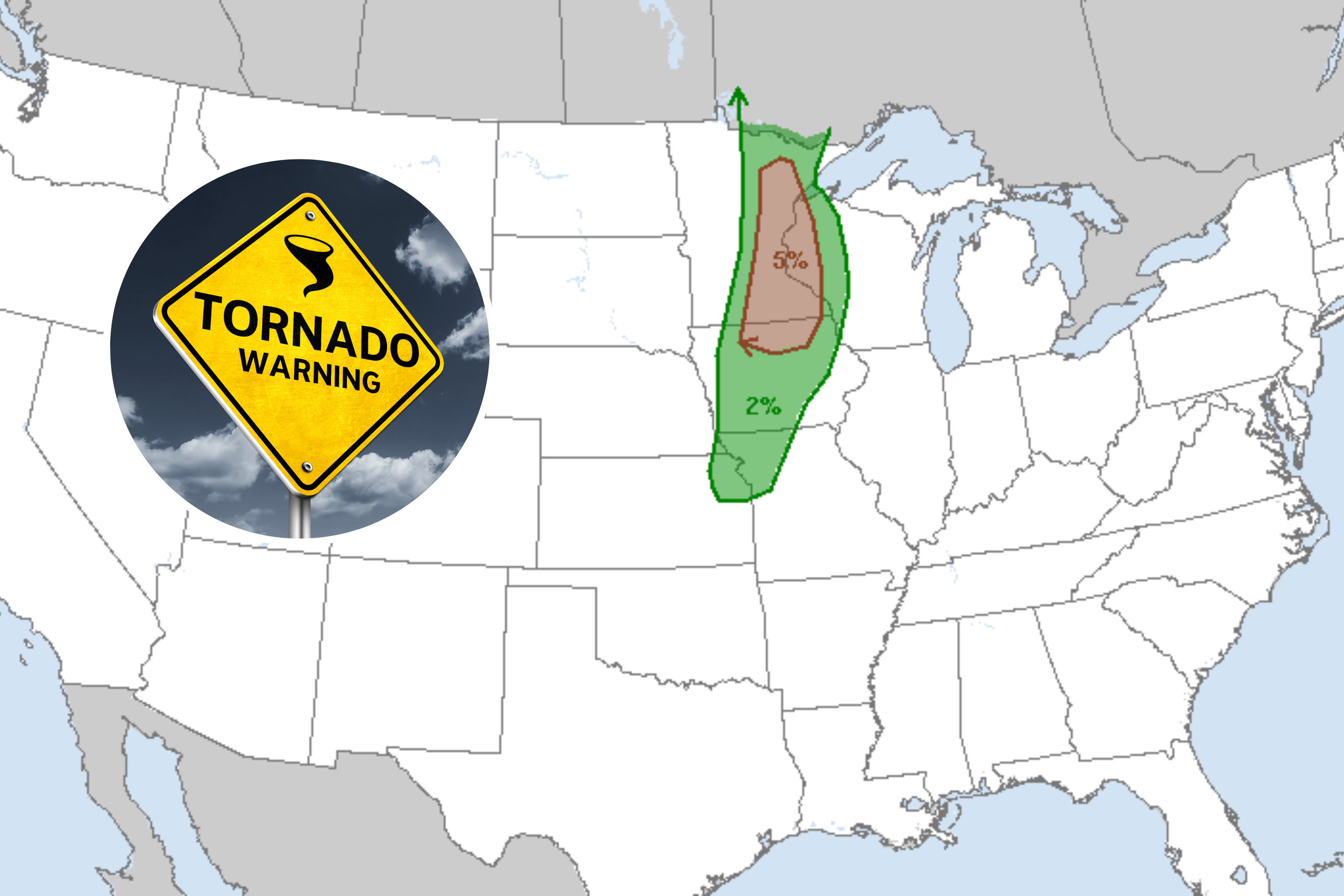
Weather patterns across various regions of the United States are experiencing significant changes. Columbia continues to experience a late summer heat surge with temperatures in the 90s and potential storms, while a potential hurricane, Helene, is developing in the Gulf of Mexico. Cleveland, Ohio, anticipates a cooler week with highs in the 70s and rounds of rain and storms. The Lehigh Valley is expected to see rain after a dry month, with the highest chance of rainfall on Wednesday. South-central Pennsylvania and the Susquehanna Valley are recovering from severe storms that caused significant damage, including flash flooding and power outages. Lubbock, Texas, is expected to transition from high temperatures in the 90s to cooler weather with potential storms due to an incoming cold front.


- Total News Sources
- 4
- Left
- 2
- Center
- 1
- Right
- 0
- Unrated
- 1
- Last Updated
- 58 days ago
- Bias Distribution
- 67% Left
Negative
21Serious
Neutral
Optimistic
Positive

Related Topics
Stay in the know
Get the latest news, exclusive insights, and curated content delivered straight to your inbox.